| Day
3 (July 14th): KNOXVILLE to TELLICO PLAINS, TN |
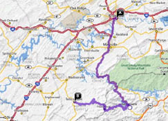 |
| <- PREVIOUS DAY | Predicted Dist. & Time: 130 mi. / 3:30 ------------------------- Actual Dist. & Time: 148 mi. / 5:45 | NEXT DAY -> | |
|
Click n' Return:
|
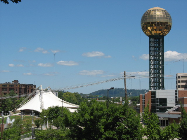
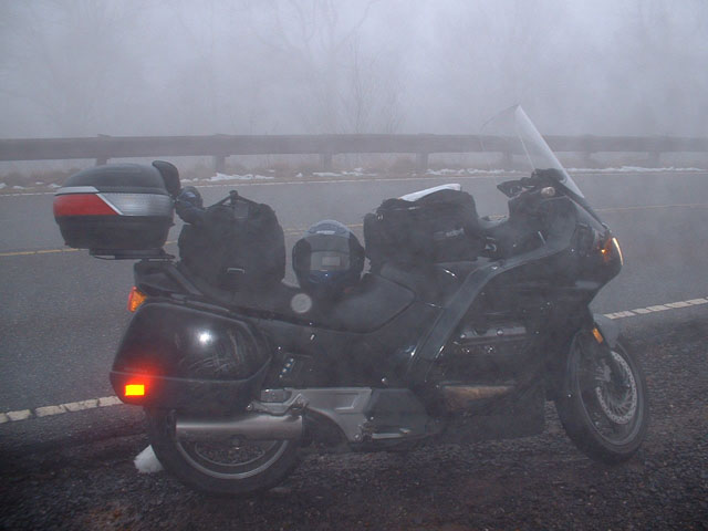
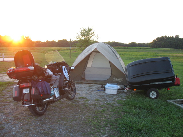
DAY THREE COMMENTARY (That "Actual Time" figure above includes a lot of sightseeing, as will soon become apparent -- Ed.) My day started out in fairly normal fashion – apologizing to another bellman for needing to ax him to load five bags onto his cart for a single overnight stay. I had inquired as to the whereabouts of a very nice employee named Robert who had helped me out during my last visit. As it turns out, he still works there, but was on vacation for the week; happily, bellman Frank was very friendly with him and sent a text message to relay my greetings. I took the thirty minutes or so to properly pack everything onto the bike and into the trailer, a necessary step if I wish for the trailer lid to actually close. Afterwards I spent about half an hour cruising around downtown, looking for an ATM and some picturesque photo ops, missing almost every red light if it came at an uphill-pointing intersection (parts of town are rather steep). I found the ATM in the bank’s HQ but almost could not determine where the doorway to enter was, seriously. I also was apparently unable to get a good shot of the convention center and its gold-topped tower so you’re stuck with this. One thirty-minute refueling
and tire-filling stop later, I
made my last steep uphill start (in second
gear, no less) and turned onto the highway leading south.
Just moments
after cresting the last hill, no more than perhaps two miles away from
the
University of Tennessee campus, the surroundings turned scenic and
wooded, with
the Fort Loudoun Lake/reservoir twisting its way alongside the right of
the Alcoa
Highway, named after (or for) the aluminum manufacturing giant. Needing
to proceed
through the “town” towards my ultimate destination -- though having
problems
with some ambiguous and conflicting signage – I found that the area was
impressive in its own non-attractive way, what with the plant (“one of
the
plants”?) occupying an incredibly large parcel on the left side of the
road.
Street names came from industrial processes and/or their discoverers,
such as “Bessemer
Road” and “Joule Street”. Cute! Further on down the road I eventually
turned
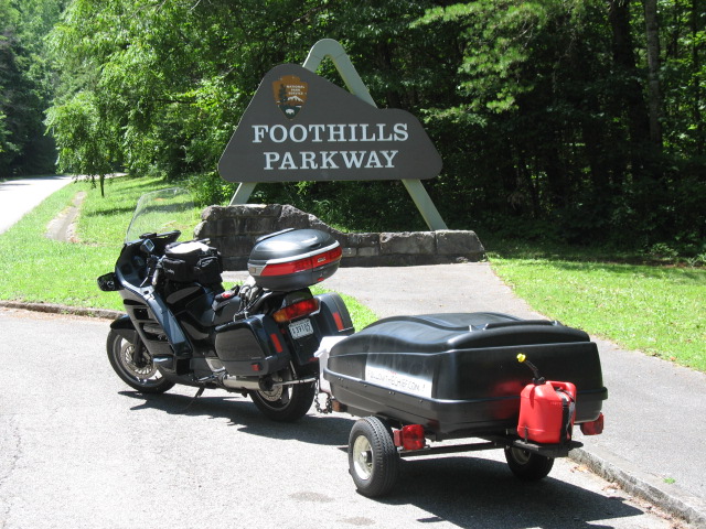
onto the Foothills
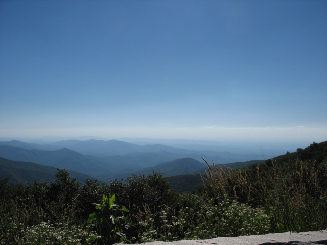
Parkway to begin what would become a five-hour slice
of
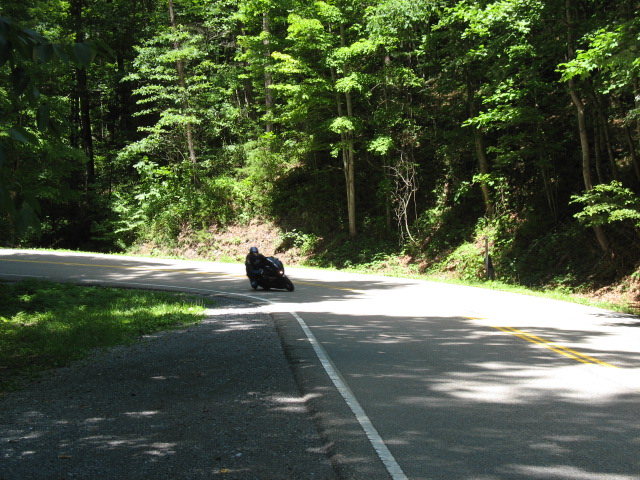
motorcycling bliss. To the west, the Parkway ends at Chilhowee Lake and begs motorcyclists to turn left onto Rte. 129 and visit the Tail of the Dragon, which informally begins after the Calderwood Dam overlook. The Dragon’s 318 curves, in
just 11 hilly miles across the
NC / TN border, greatly attract sportbike
enthusiasts, some of whom
seek to
complete the route at – take my word for this -- an utterly
insane AVERAGE
speed of 60 MPH, thus earning membership in
the coveted “11 in 11” club. Those who try and fail, and fail badly
enough,
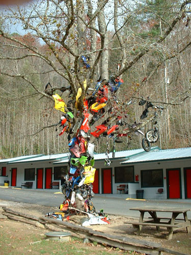
occasionally end up hanging broken motorcycle parts on the Tree of
Shame at the
Deal's
Gap Resort (population: 8), often along with witticisms such
as
“Hit the turn and gave it gas, ended up upon my a$$”, or “Once
bitten, never quittin’”. Sometimes, though, there are casualties on the
route, which
can be the
price paid for hitting a tree head-on at eighty-eight feet per second. Cruiser enthusiasts also enjoy putting their bikes’ prodigious torque curves to good use here, and occasionally wackos even haul trailers through the Dragon, as seen in the photos 272-277 here (click the "Continue" button at the bottom of the page) or in photos 63-65 here. In fact, some trailer-hauling wackos even hastily secure a digital camera to the home-made dashboard shelf used for the radar detector (and EZ-Pass, at least in the olden days -- Ed.), solely so that you can ride along! This is a short stretch of the roadway, only about a minute's worth, and the funniest part has got to be the big "S-L-O" warnings painted onto the road surface in spots -- on a road that is crazy to begin with. The sound isn't great and it's best viewed in a small movie player window, but to see The Chief (tm)'s first self-filmed Dragon Video anyway, click here! (If anyone would like the version with the full ride, about eleven minutes long, whipping past some road signs and a few more cars and bikes, and then into the Deal's Gap parking lot, drop me a line.) To me it seems as if the North
Carolina side was
re-paved
since I was here last in 2005. Meanwhile, after a pleasant hour or so
chatting
with the many other bikers at the Resort, I headed down
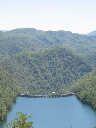
towards
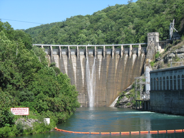
Tapoco, NC, past the
Cheoah Dam. If this dam looks familiar to some of
you movie fans out there, it
is likely because it was used during the filming of the Harrison Ford
thriller, "The
Fugitive", although that film was supposed to take place in
Illinois.
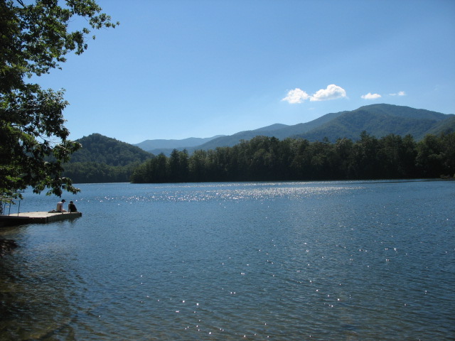
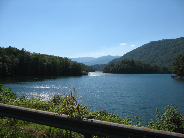
Past the
dam and the
beautiful, multi-fingered
Lake Santeetlah, the eastern end
of the Cherohala
Skyway
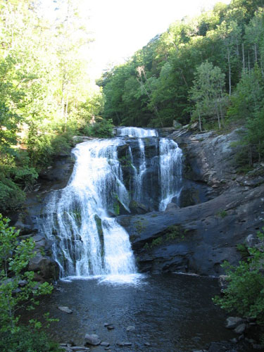
beckoned. About six miles down a spur towards
the end of the
Skyway is
the gently-tumbling
Bald River Falls, easily visible from the nearby bridge, and
then
the road eases into Tellico Plains, TN. |
|
|
|
|
|||